Portfolio
Some of our activities include...
LSRS
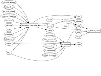
Decision Support System

MAL
Strategic Planning

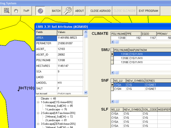
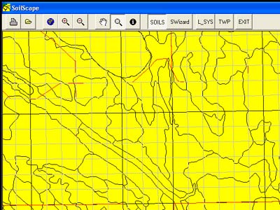
Agrasid
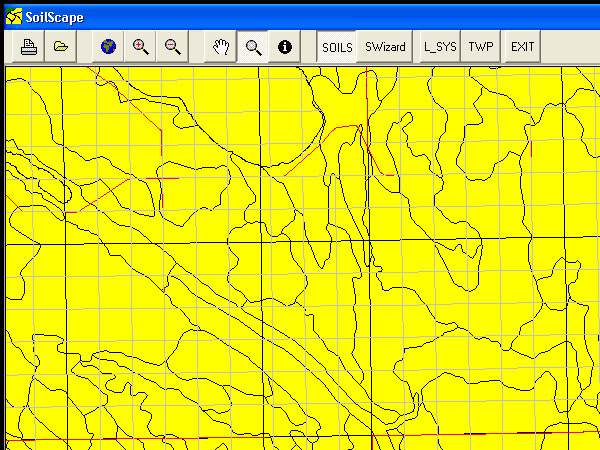
Soil Information
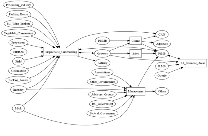
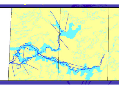
Flow
Business Analysis
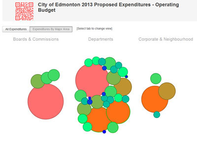
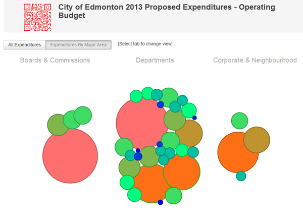
Budget
Data Visualization
Traditional Knowledge
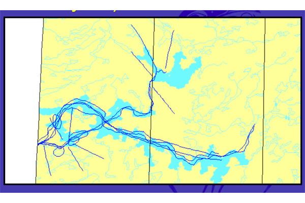
Land Use